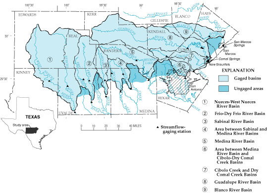
Figure 1. Map showing gaged basins and ungaged areas (modified from Puente, 1978, fig. 1).
Back to Contents